 geocatalogue.geoportail.lu
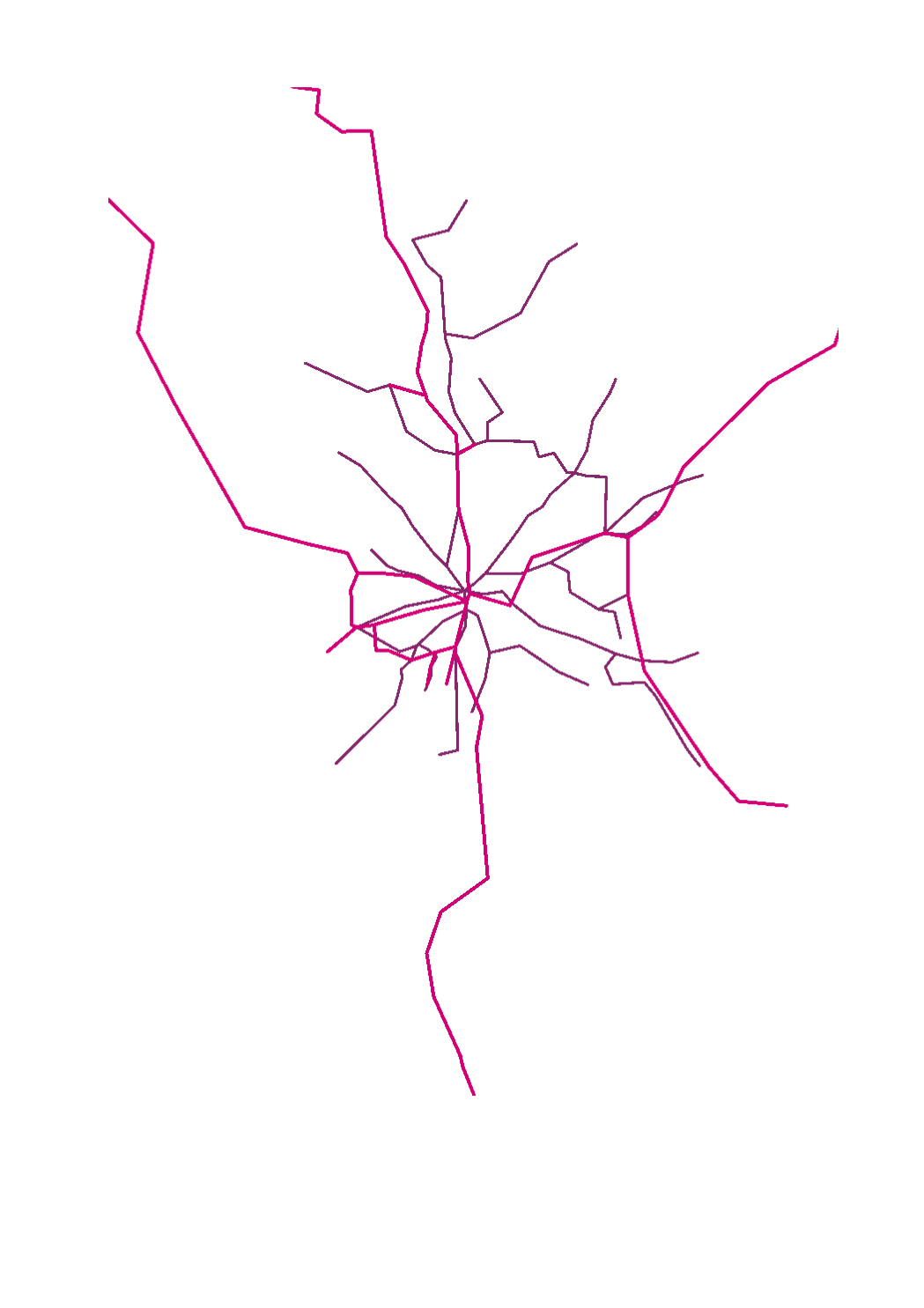
Main>Infrastructure and communication>Transport networks
Type of resources
Available actions
Topics
Keywords
Contact for the resource
Provided by
Groups
Years
Representation types
Update frequencies
status
Scale
-

This layer contains publicly accessible DC charging stations in Luxembourg. Besides the SuperChargy network, other publicly accessible charging stations, which everyone can access and even those located on private land (for instance at service stations) are featured in this layer. The data is provided by the company Eco-Mouvement.
-

This layer contains publicly accessible AC charging stations in Luxembourg. Besides the Chargy network, other publicly accessible charging stations, which everyone can access and even those located on private land (for instance parking lots of super markets) are featured in this layer. The data is provided by the company Eco-Mouvement.
-

This layer contains the official road work sites as they also appear on the CITA website
-

This layer contains the official road work sites as they also appear on the CITA website
-
-

The mbox is a safe space where you can park your bike. These bike stations are located near the public transport to facilitate a fast and convenient switch from bike to bus or railway and vice versa.
-
This layer contains de reference points on state roads
-

This layer shows the street names, as they are registered in the official town and street names database.
-

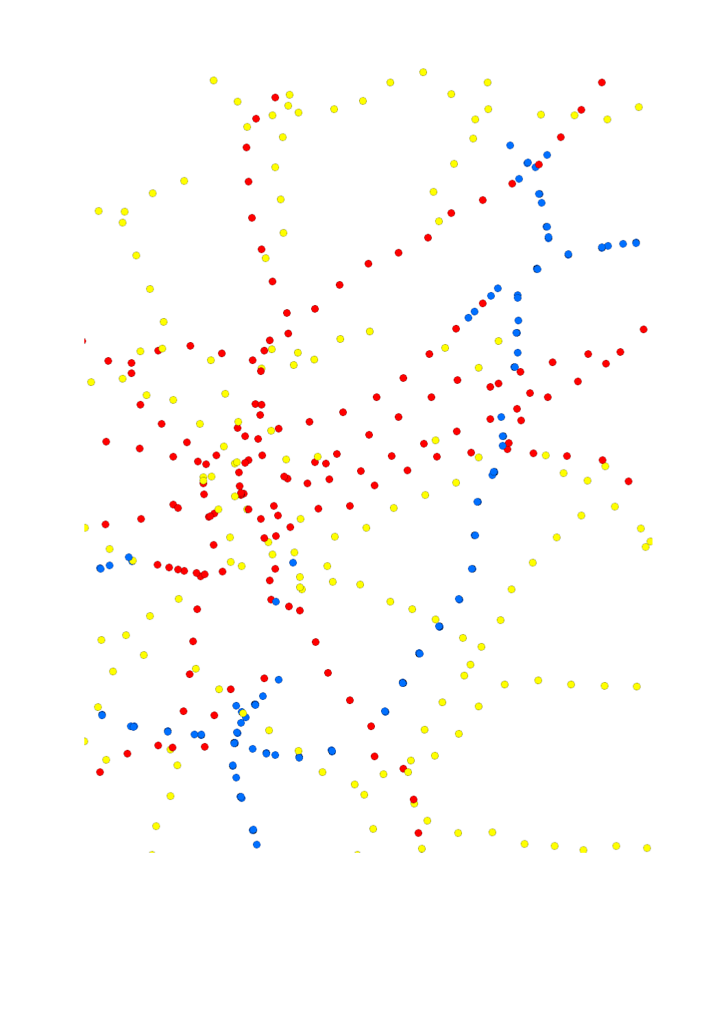
This layer contains the locations of public charging stations for electric cars and hybrid plug-in vehicles. Information about availability is shown in real-time. Blue dot = available Green dot = occupied
-

This layer contains the current road works on the national cycling paths.